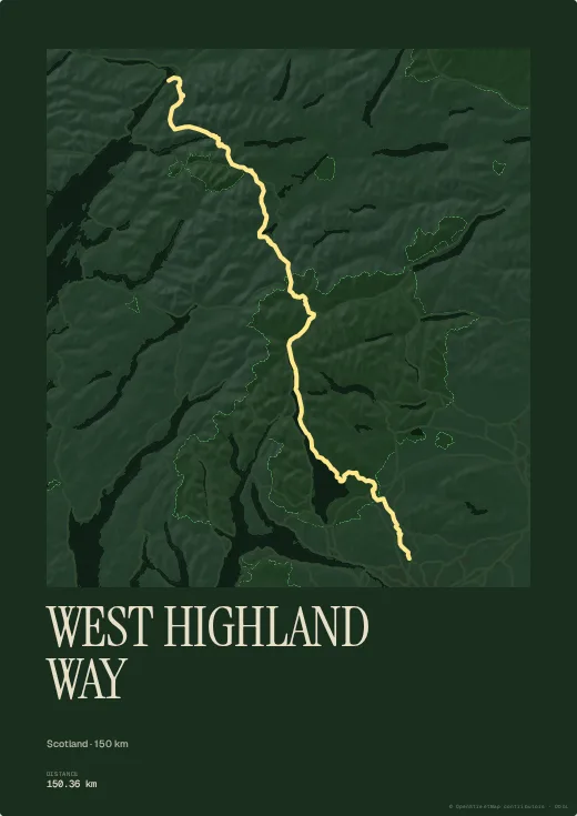
From Milngavie on the edge of Glasgow to Fort William beneath Ben Nevis, the West Highland Way runs along Loch Lomond, across Rannoch Moor and through Glen Coe. It is Scotland's great trail.
The Forest palette suits it naturally, though nothing stops you going more graphic. Add your dates and the stage names and it becomes the record of the week.
Colours, map style, type, title, dates and your own text are all set in the browser, with no account. Walked or ridden it with your own watch? Import your GPX, FIT or TCX file instead and the poster follows your exact line, detours and variants included.