MapRender

GR 20 poster — the traverse of Corsica

The GR 20 crosses Corsica north to south along its mountain spine, from Calenzana to Conca. Its name as Europe's toughest long-distance path is visible in the drawing alone: a line that barely ever drops into a valley.

Region
Corsica
Trace provided
174 km
You get
300 dpi PNG file
Print sizes
A2 · A3 · A4 · A5
PNG download
€9
Open this route in the editor

Free preview — high-resolution PNG download: €9

The trace is already loaded: you land straight on the preview and can change anything before paying a cent.
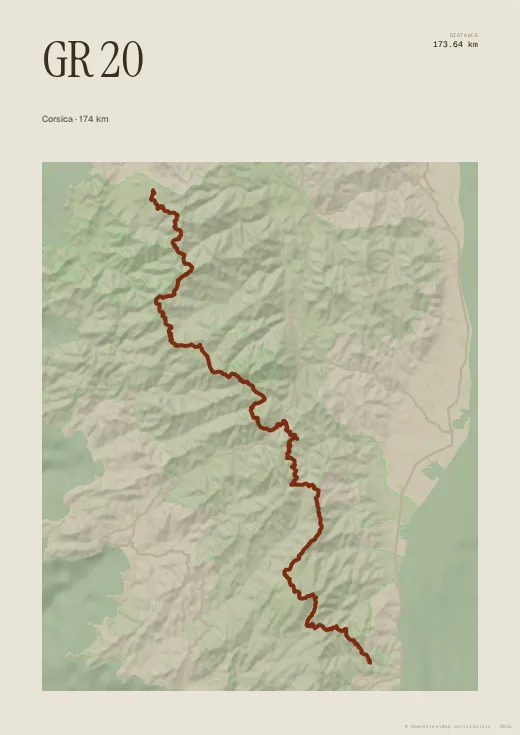
GR 20 Corsica poster generated by MapRender

Map data and route: © OpenStreetMap contributors (ODbL).

On a poster the traverse runs the full height of the sheet — portrait format suits it perfectly. Add your dates, the number of stages, or the line that matters most: “all of it”.

Colours, map style, type, title, dates and your own text are all set in the browser, with no account. Walked or ridden it with your own watch? Import your GPX, FIT or TCX file instead and the poster follows your exact line, detours and variants included.

Ready-made routes

Other uses