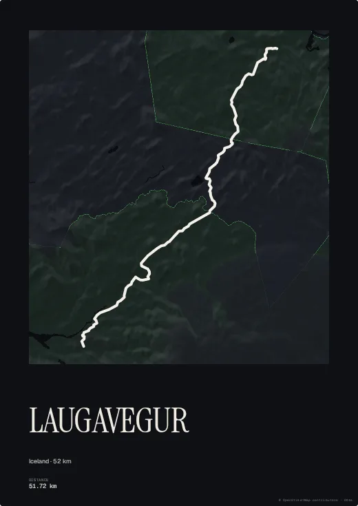
The Laugavegur links Landmannalaugar and its painted rhyolite mountains to the Þórsmörk valley, across lava fields, ash deserts and glacial river crossings — a few days' walk that ranks among Europe's most striking.
The Midnight palette recalls the bright Icelandic summer nights; a more mineral palette brings out the terrain. Add the huts and the dates of your crossing.
Colours, map style, type, title, dates and your own text are all set in the browser, with no account. Walked or ridden it with your own watch? Import your GPX, FIT or TCX file instead and the poster follows your exact line, detours and variants included.