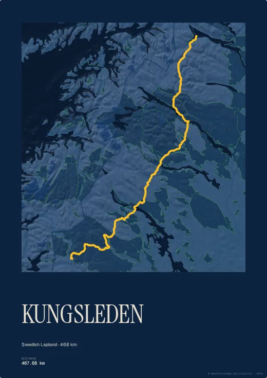
The Kungsleden, the King's Trail, crosses Swedish Lapland from Abisko, north of the Arctic Circle, down to Hemavan: hundreds of kilometres of tundra, lakes and glacial valleys, often walked over several summers.
A trace this long rewards a big print — at A2 every section stays legible. The Blueprint palette gives it the feel of an expedition survey.
Colours, map style, type, title, dates and your own text are all set in the browser, with no account. Walked or ridden it with your own watch? Import your GPX, FIT or TCX file instead and the poster follows your exact line, detours and variants included.