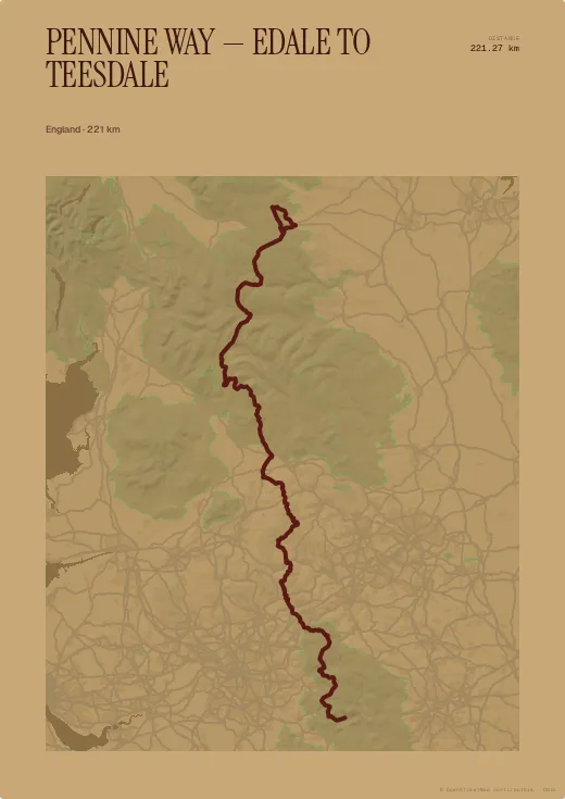
The Pennine Way follows the backbone of England. The trace provided starts at Edale below Kinder Scout and passes Malham Cove and Pen-y-ghent on its way up to Teesdale.
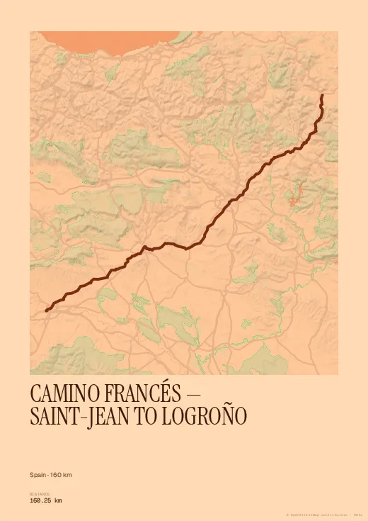
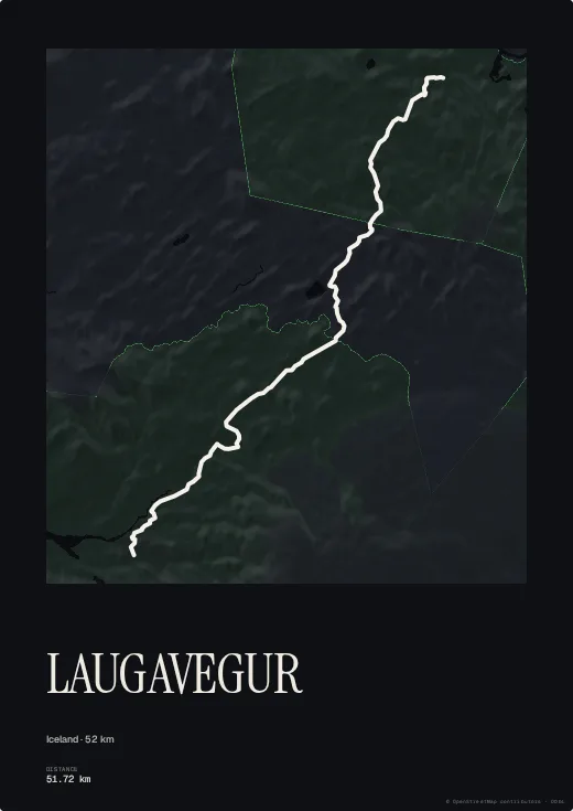
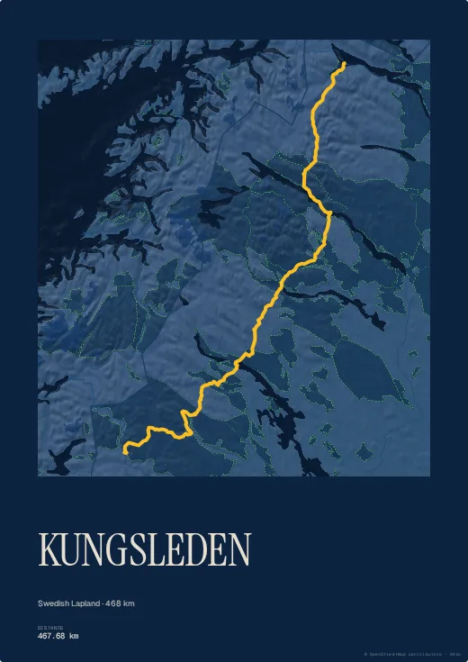
A long, nearly straight north–south line: made for a large portrait print. The Kraft palette gives it the look of an old walking map.
Colours, map style, type, title, dates and your own text are all set in the browser, with no account. Walked or ridden it with your own watch? Import your GPX, FIT or TCX file instead and the poster follows your exact line, detours and variants included.