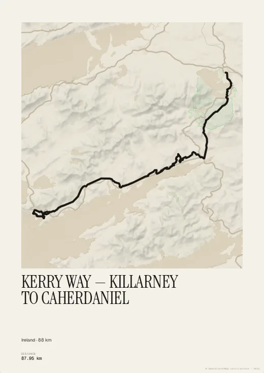
The Kerry Way loops the Iveragh Peninsula in Ireland's south-west. The trace provided runs from Killarney to Caherdaniel, through the Black Valley and beneath MacGillycuddy's Reeks.
The Manuscript palette gives it an illuminated look; add the villages along the way for a properly Irish keepsake.
Colours, map style, type, title, dates and your own text are all set in the browser, with no account. Walked or ridden it with your own watch? Import your GPX, FIT or TCX file instead and the poster follows your exact line, detours and variants included.